![]()
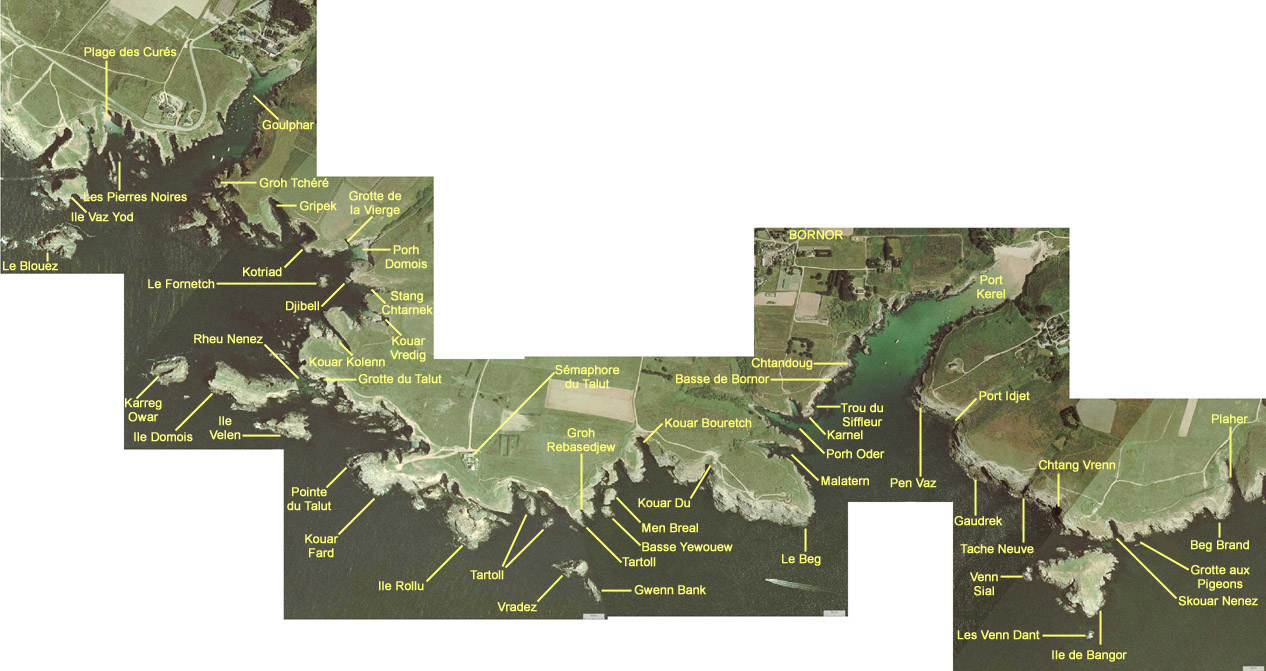
From Goulphar to Bangor island. The Wild Coast is indented and the islands are numerous. Two mooring places: Goulphar and Kerel, are used by yachtsmen in summertime.
Goulphar is not considered as a beach, but Kerel is a very much appreciated bathing place because the water is often warmer than on other beaches (very low slope gradient of the beach, and well-sheltered site).
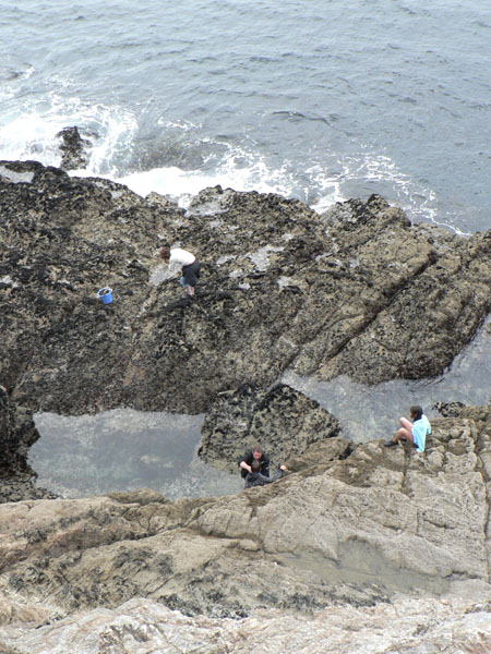
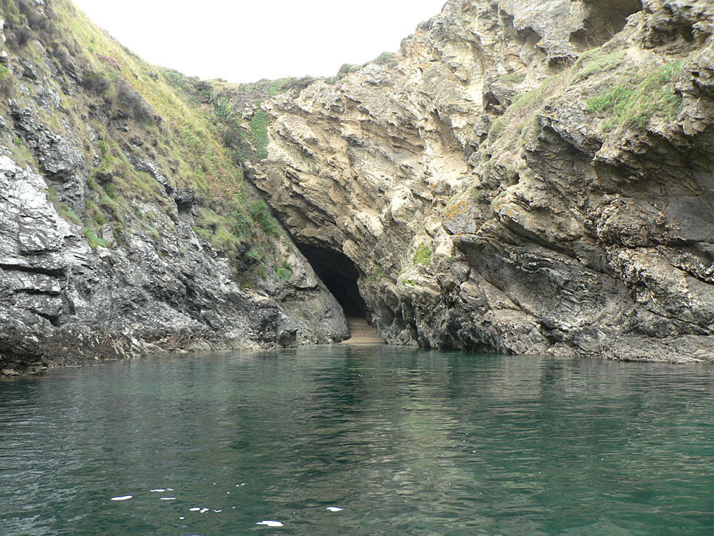
You will see many caves along the shore. The most famous is the Talut Cave which can be gone across at low tide.
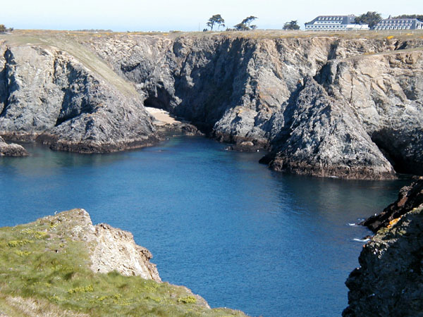
A beautiful walk along the Wild Coast: from the Talut signal station to Porh Domois, to be performed in the morning to get the sun on the right side. When the sea is calm, Porh Domois is a remarkable place for snorkelling: there are many caves and passages under the rocks where you can swim.
(Click on the small pictures to enlarge them. Some pictures are available in high definition (about 1600x1200 pixels): click on the link "(High definition)" to open them.
The lighthouse of Goulphar |
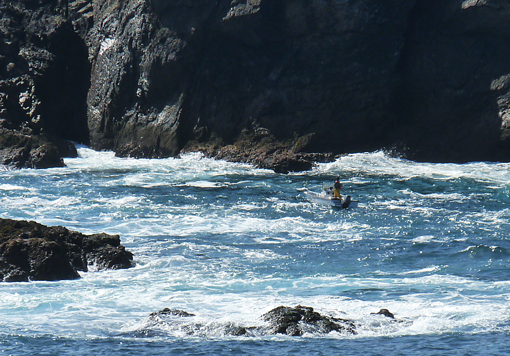
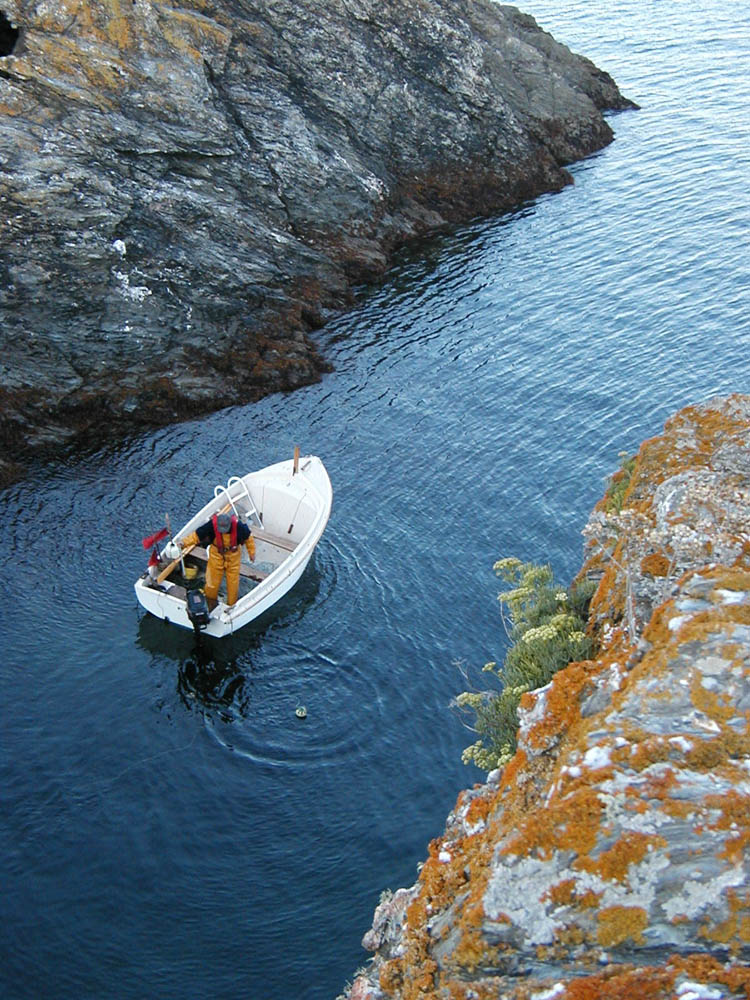
Fishing at Goulphar |
Near Goulphar |
Domois,
general view |
|
Velen
island and Domois island |
Goulphar |
Goulphar |
 |
 |
 |
 |
|
 |
 |
 |
|
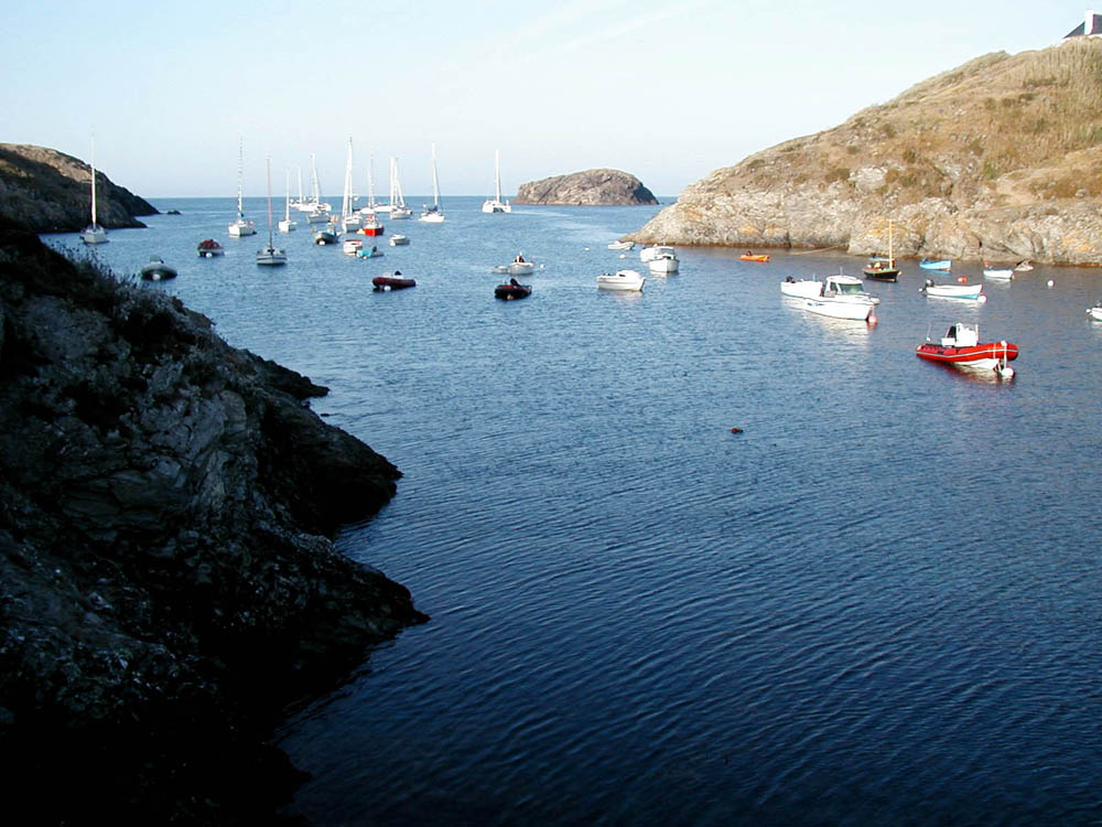
Goulphar in August. |
Fishing at Goulphar. |
Goulphar, by a summer morning. |
Goulphar,
in wintertime.
|
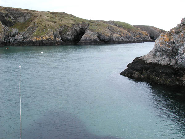
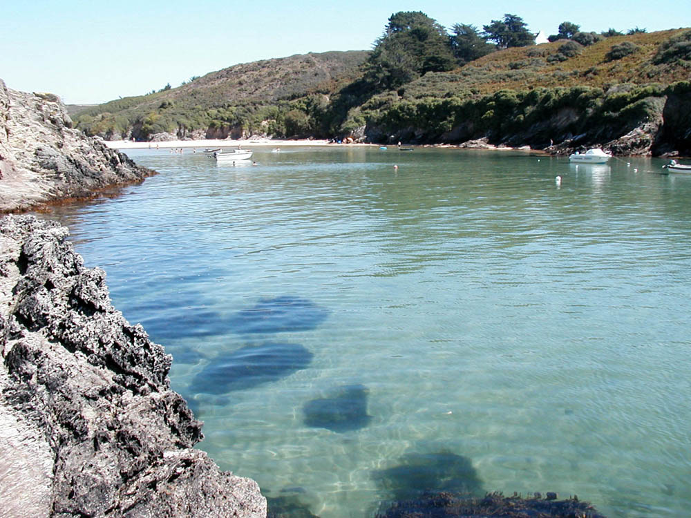
Clear
water at Goulphar.
|
Goulphar, towards the end of the cove. |
Another
view of Port Goulphar
|
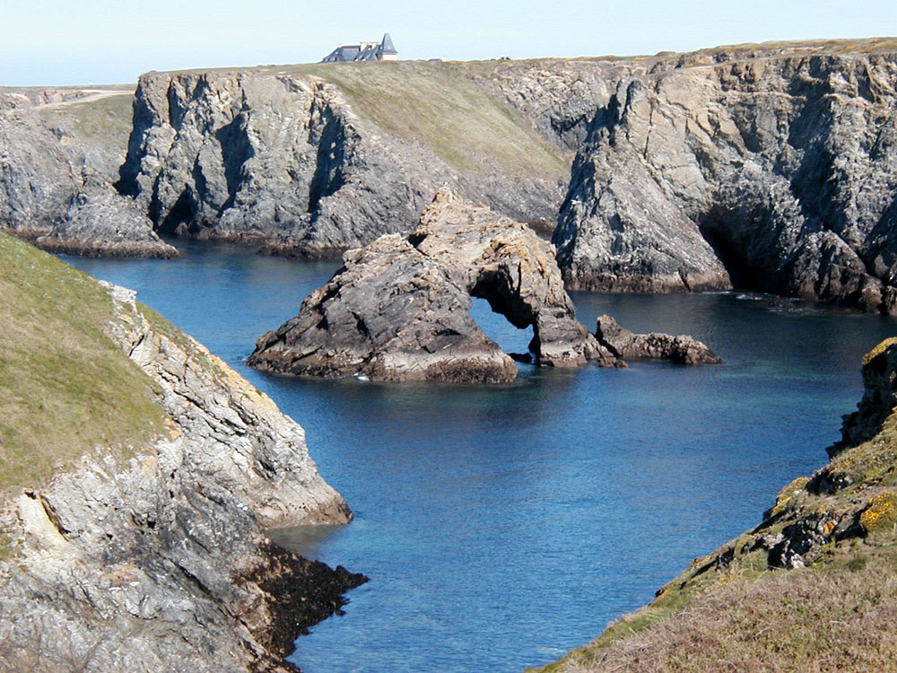
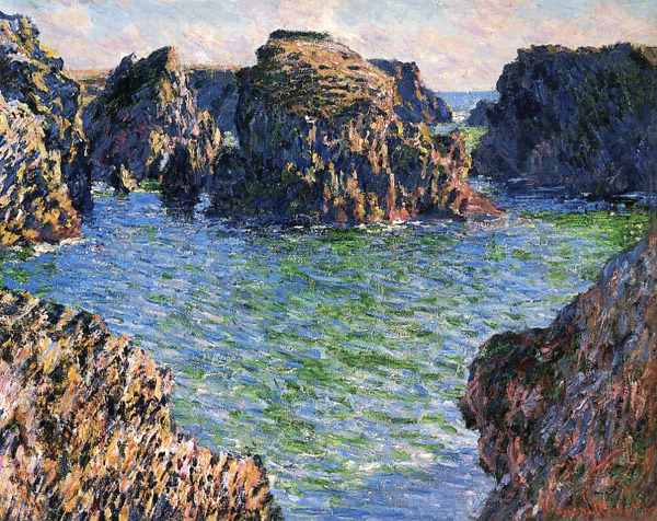
The rocks of Domois, seen from Goulphar |
The
same rocks of Domois,
as painted by Claude Monet in 1886.
|
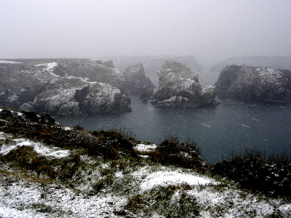
The
rocks of Domois under the snow
|
 |
 |
 |
 |
 |
|
 |
 |
 |
 |
|
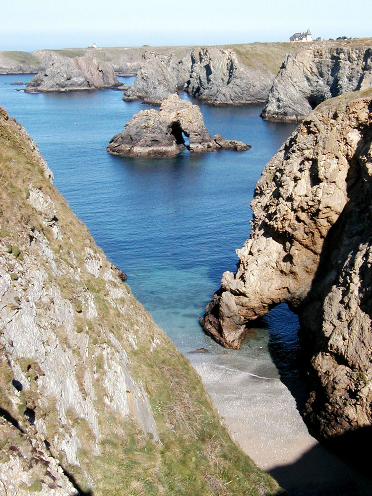
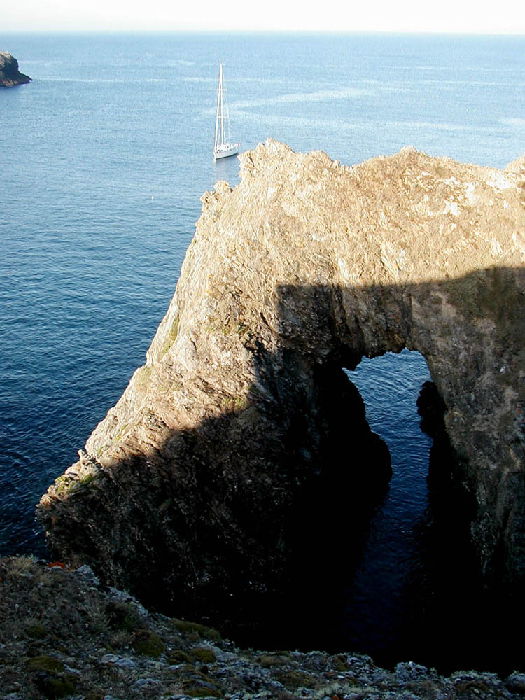
Stone
arch between Goulphar and Domois |
In
the Talut cave.
|
Velen
island.
|
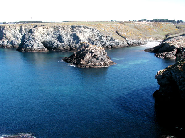
Velen
and Domois islands, from the Talut foreland.
|
Domois
island is accessible at low tide.
|
The "Fornetch" |
The
same "Fornetch", as
painted by Claude Monet in 1886.
|
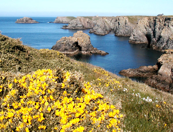
Porh
Domois, seen from Kouar Kolenn
|
The
"Chtarnek" and the "Fornetch" |
 |
 |
 |
 |
 |
|
 |
 |
|
|
General
view of Domois
|
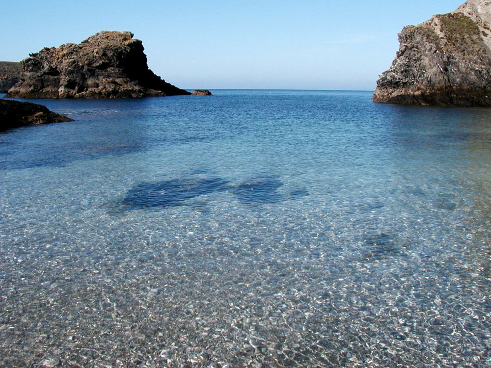
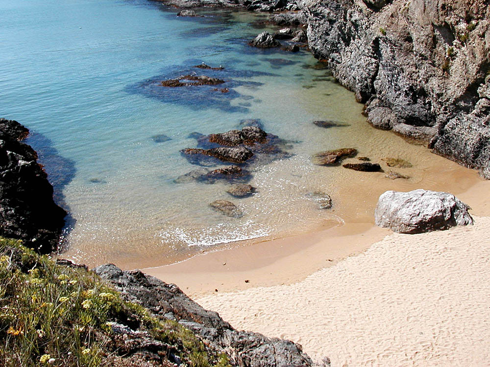
Clear
water at Domois
|
Porh Domois |
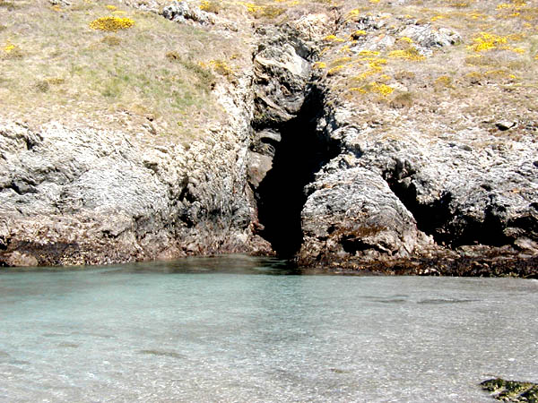
Cave
at Domois
|
The
"Virgin Cave" at Domois
|
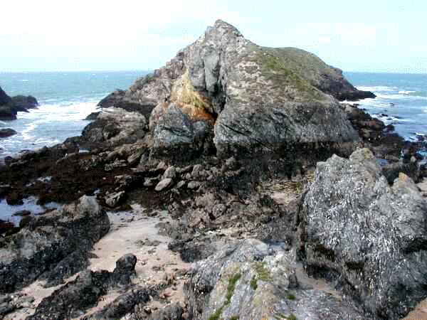
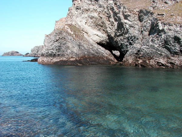
Another
pierced rock which can be crossed by swimming...
|
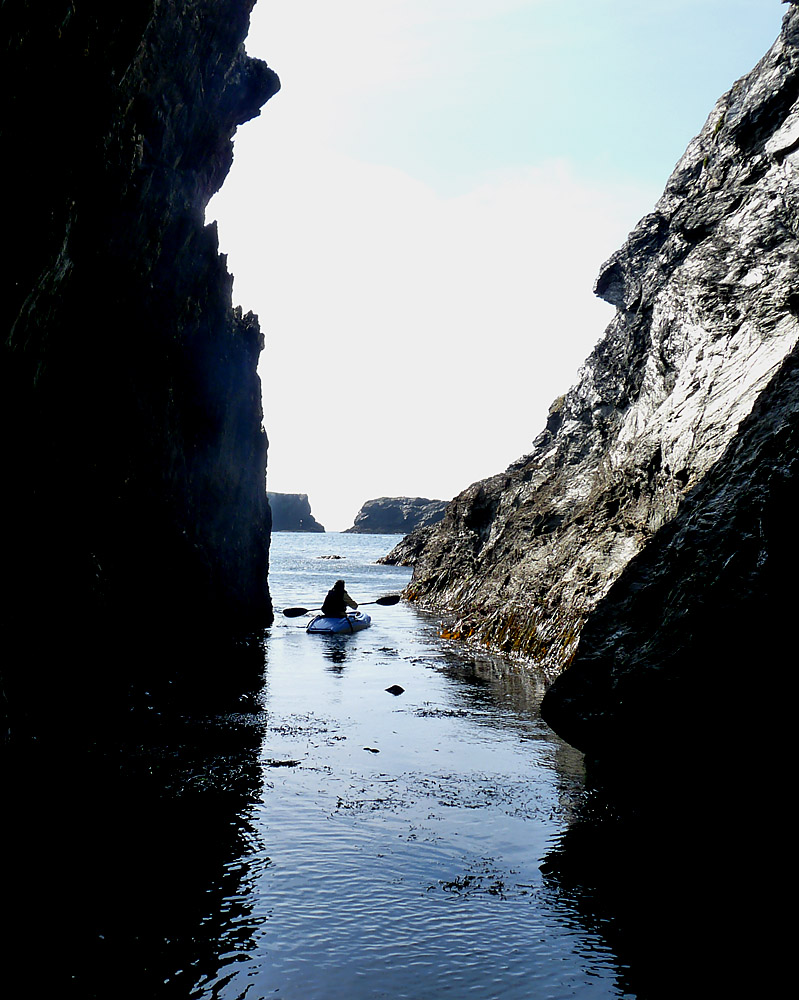
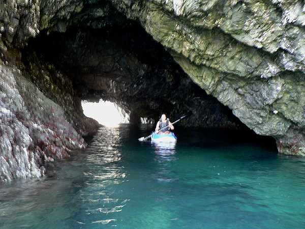
...or
with a kayak
|
Kouar
Vredig
|
 |
 |
|
 |
 |
 |
 |
 |
|
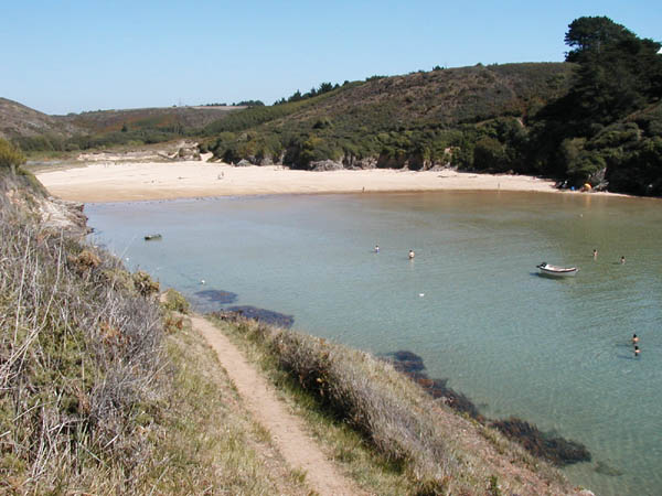
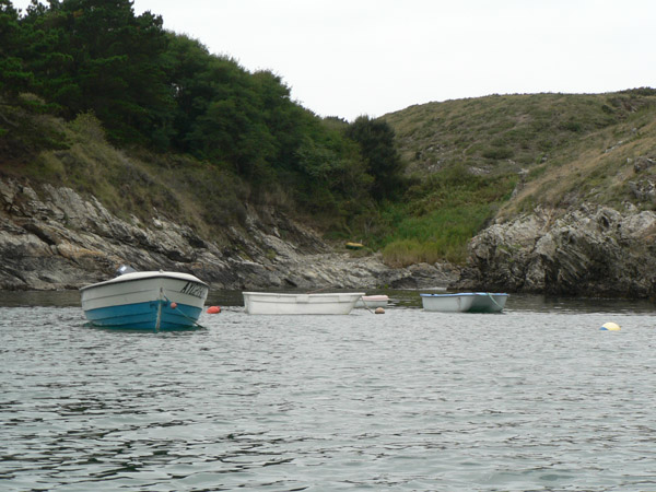
Kerel in summertime. |
Boats at Kerel. |
Kerel in summertime. |
Kerel, general view. |
Bathing at Kerel |
Small creek at the right of Kerel, by the coastal footpath. |
The small creek of Gripek |
Port Kerel, seen from "Le Beg" |
 |
 |
 |
 |
|
 |
 |
 |
|
Fishing at Kerel |
Commemorative marble plaque at Kerel |
Creek
of Malatern |
Porh Oder |
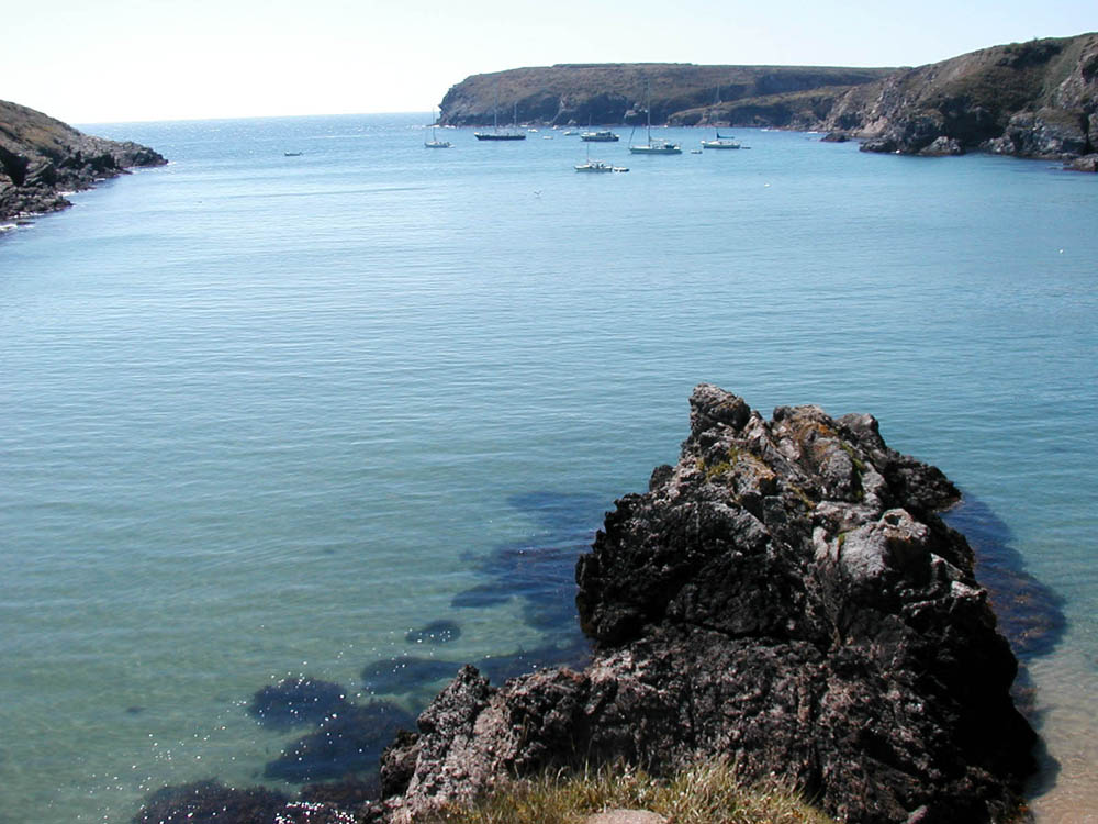
Port Kerel |
Fishing near the Bangor island | "Le Chtarnek" | Sandwich Terns (Sterna sandvicencis) at Kerel |
 |
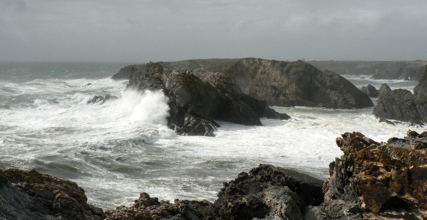
Caution ! when there is a strong wind or a large swell, the sea is dangerous ! |
 |
 |
 |
 |
 |
 |
Some keys to decode the local toponimy
![]()