![]()
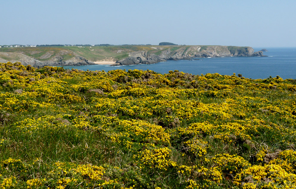
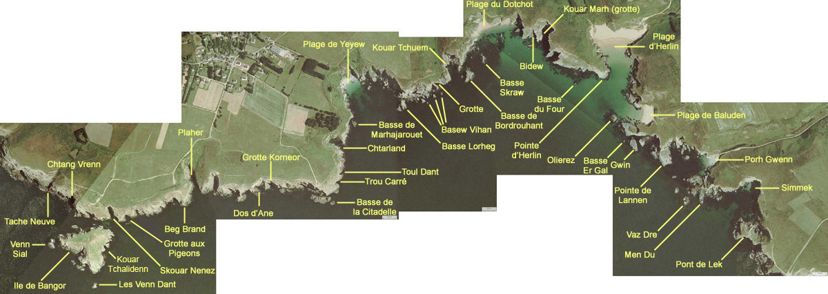
From Bangor island to Port Gwenn. You will find there some of the most beautiful beaches and creeks of Belle-Ile: Yeyew, Dotchot, Herlin or Baluden.
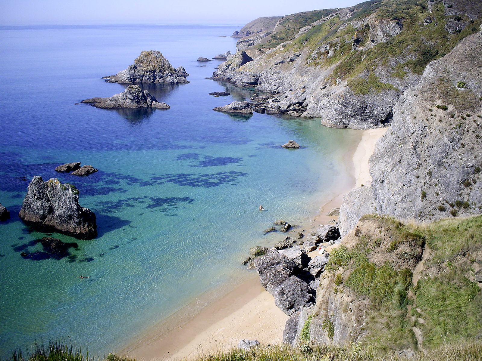
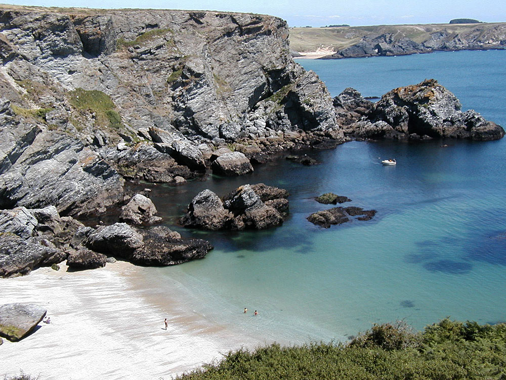
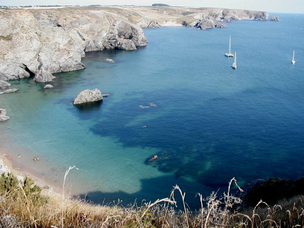
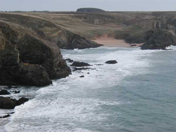
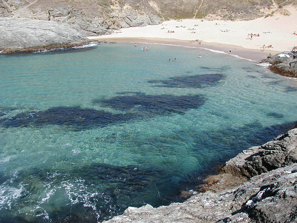
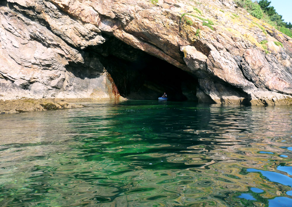
Yeyew and Dotchot are well protected from the westerly winds by the "Grand Village" foreland and are facing the south. Between Yeyew and the Grand Village foreland, several caves are accessible by swimming when the sea is calm. There are some other caves between Dotchot and Herlin.
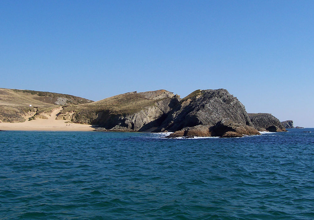
You may go from Baluden to Herlin by walking only by very low tide coefficients. Port Gwenn is less busy in summertime because of its grey-coloured sand, but the sea around the rocks is very beautiful.
(Click on the small pictures to enlarge them. Some pictures are available in high definition (about 1600x1200 pixels): click on the link "(High definition)" to open them.
 |
 |
 |
 |
 |
| Baluden | Baluden | 360° panoramic aerial view of Belle-Ile coast. Picture taken from a kite by "Kapormes" between Baluden and Port-Gwenn. Some other aerial views of Belle-Ile here, on his website | Between Yeyew and Baluden | Dotchot |
|
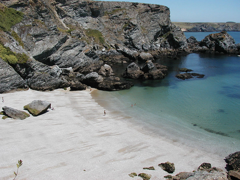
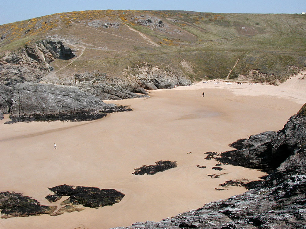
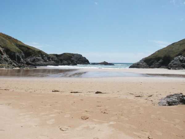
Yeyew creek: at high tide, the creek is very small. |
Yeyew creek, with the beach of Baluden in the background. |
Yeyew creek at low tide. |
Yeyew at low tide in summertime. |
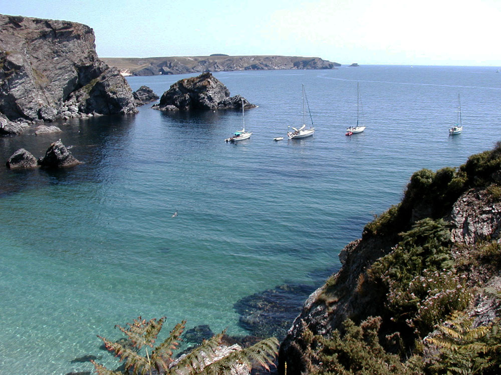
Moored boats in front of Yeyew. |
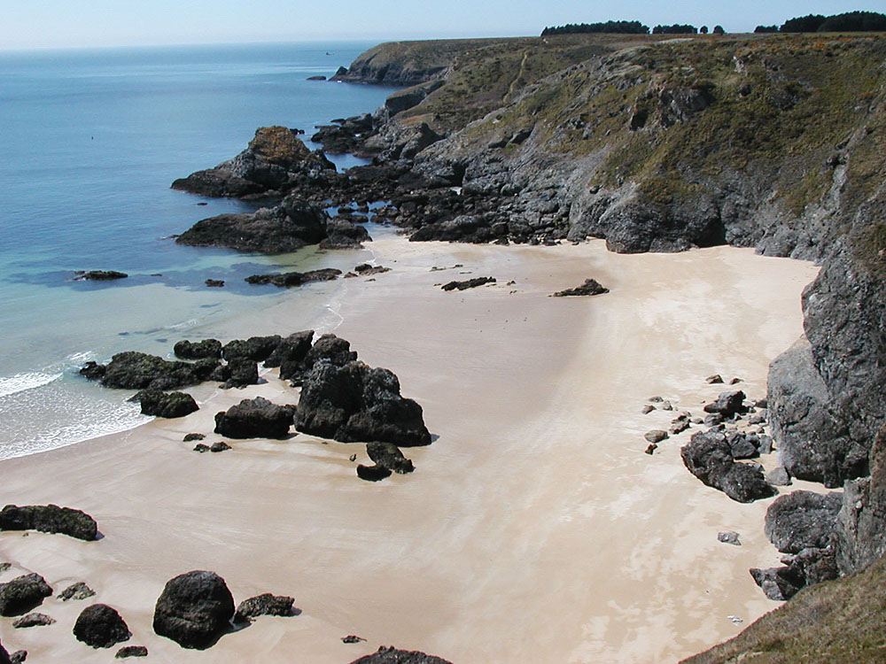
The Dotchot |
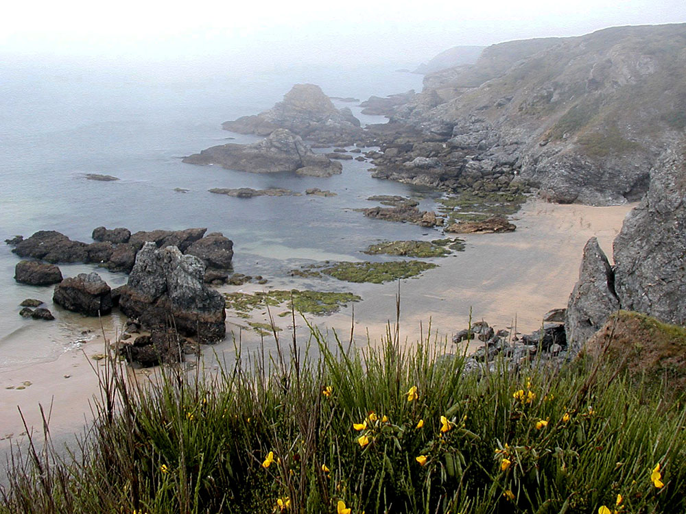
The beach of Dotchot, at low tide in 2003 : many visible rocks. |
The beach of Dotchot, at low tide in 2005 : the sand has covered the rocks. |
 |
 |
 |
 |
 |
 |
 |
 |
|
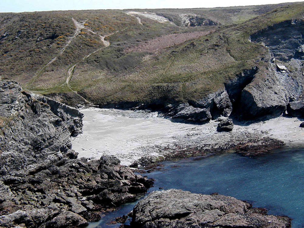
Dotchot beach, seen from the top of the cliff. |
Dotchot beach, with Baluden and Saint Marc foreland in the background. |
The Dotchot, as you may see it at springtime. |
Moored boats in front of the Dotchot |
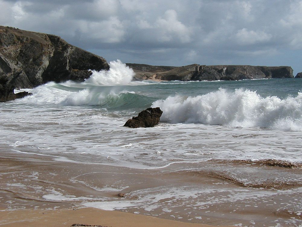
The Dotchot, with south-west swell and waves. |
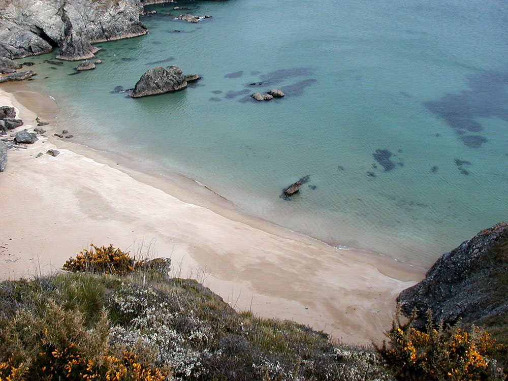
Small
cave , Dotchot beach.
|
The
beach and the glen of Baluden, in wintertime.
|
 |
 |
 |
 |
 |
 |
 |
|
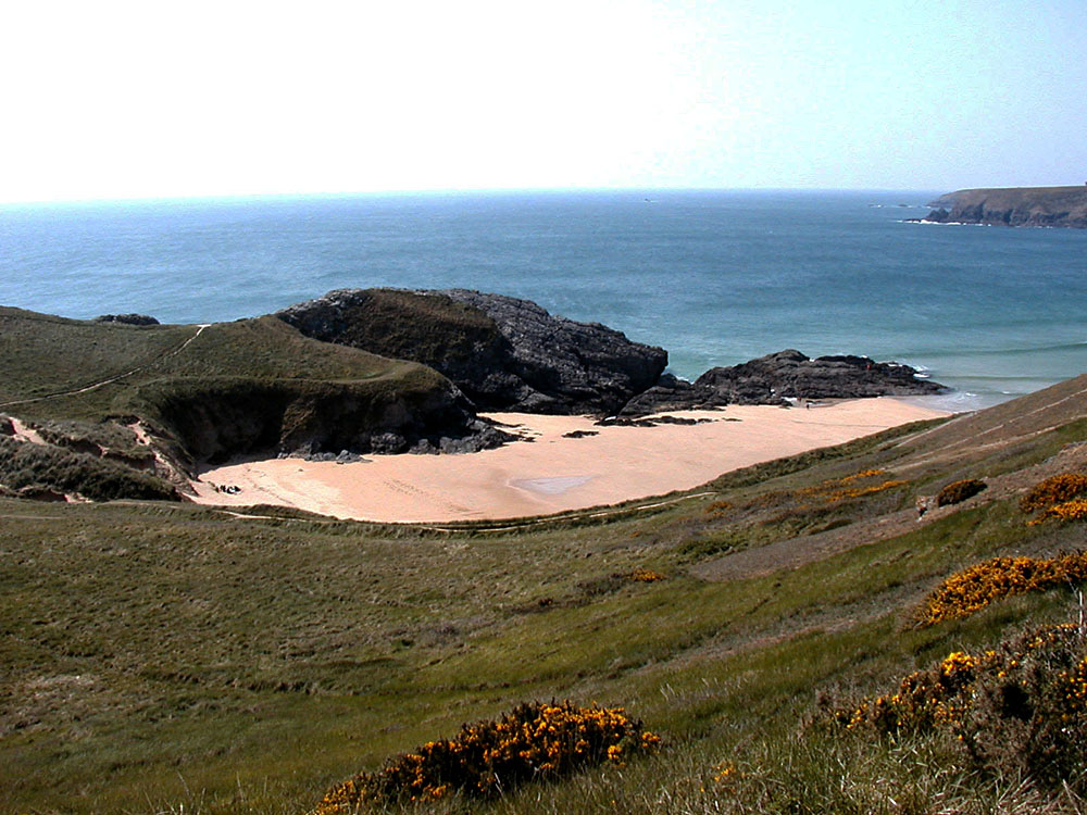
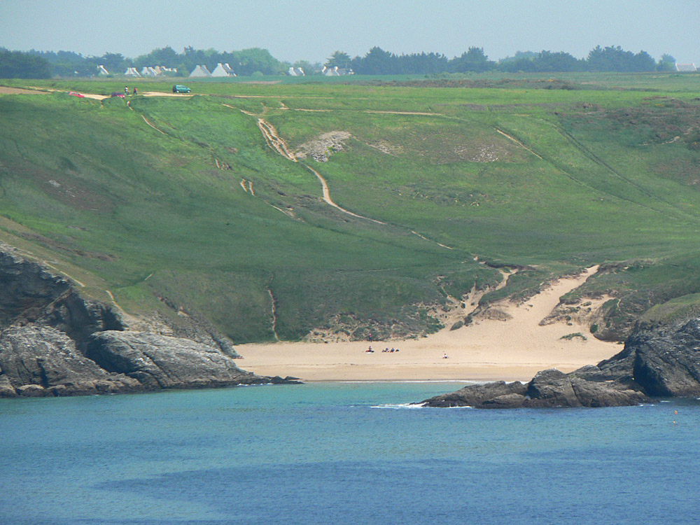
Glen of Baluden at springtime. |
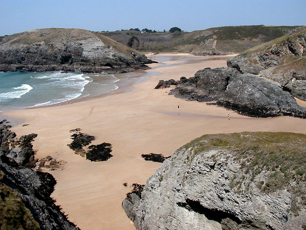
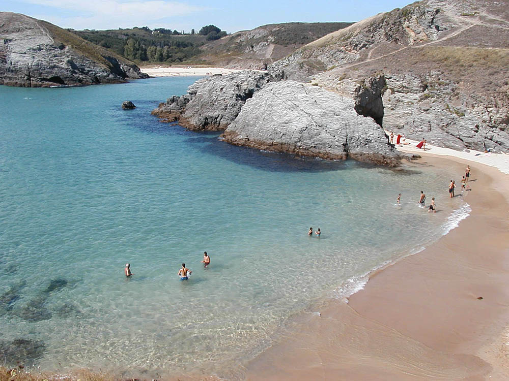
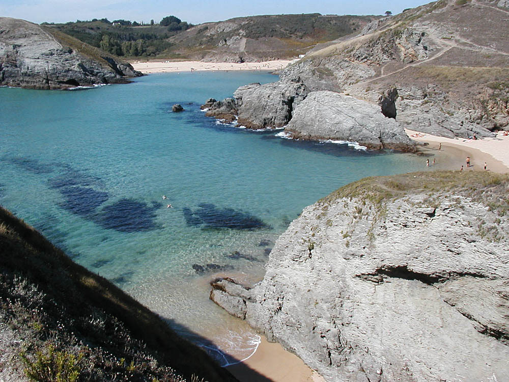
You may go from Baluden to Herlin by walking, by very low tide coefficients. |
Baluden, at low tide. |
From Baluden, facing the Dotchot. |
Another view of Baluden |
Baluden in summertime. |
Baluden in summertime. |
Baluden on the right, and Herlin in the background. |
Herlin |
|
 |
 |
 |
 |
 |
 |
 |
 |
 |
|
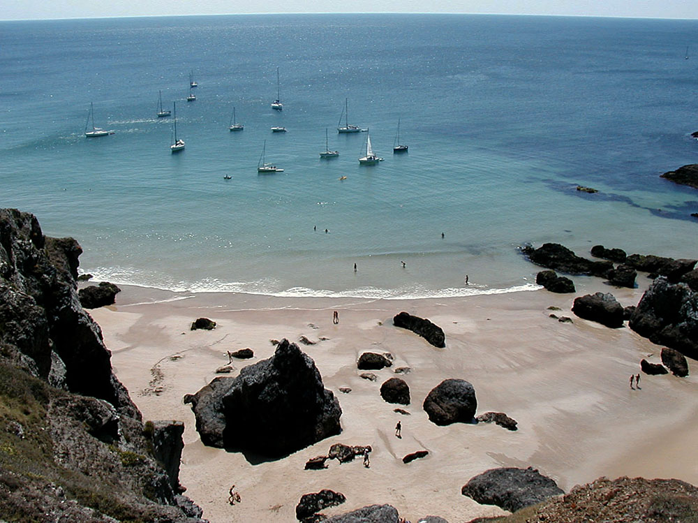
Bathing at Baluden |
Herlin, seen from Baluden |
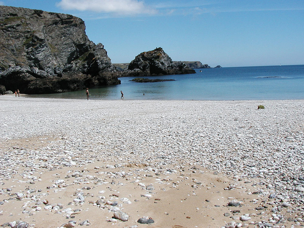
Herlin |
Bathing at Herlin |
Herlin beach at low tide. |
Port-Gwenn |
Port-Gwenn and Saint-Marc foreland. |
Bangor
island.
|
"Pigeon
cave", facing the Bangor island.
|
|
 |
 |
 |
 |
 |
 |
 |
 |
 |
|
Bangor island, panoramic view (east side)
|
Kouar
Tchalidenn cave, on Bangor island
|
"Grotte
aux pigeons"
|
Skouar
Nenez
(High definition) |
Beach
of Baluden
(High definition) |
Panoramic
view of Yeyew
(High definition) |
|||
 |
 |
 |
 |
 |
 |
| Creek and cave of Chtarland | Cave of Toul Dant | ||||
 |
 |
Some keys to decode the local toponimy
![]()