![]()
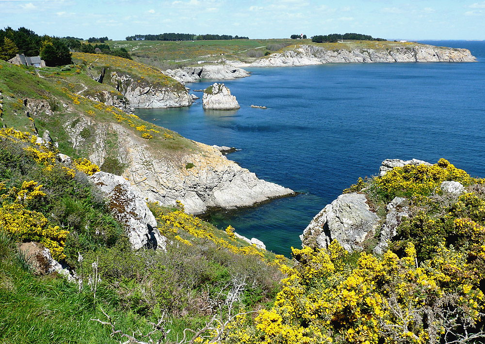
From the foreland of Kerzo to La Biche. The most popular beach (easy of access) is Port Andro. The small creek of Port-Billon, located near Port AnDro is very well protected from the westerly winds. The beach of "Les Galères" is only accessible when the tide has small coefficients.
QUIZZ
- Concerning the beach of Les Galères, there is one
question: on some maps of Belle-Ile (as the map of Pierre Gallen, published
in 1992, for ex.) there is one place named "la chaudière"
(the "steam boiler") just on the North of the beach of Les Galères,
on the small cove of Porh Enn (see the map below). At this place, by low
tides, you may see a wreck which seems to be a ship steam boiler.
Here are some photos of this wreck and of its location :
 |
 |
 |
 |
||||
|
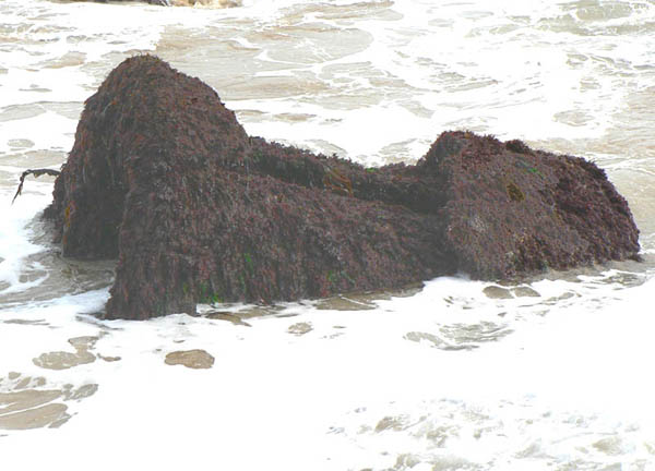
General view of the wreck (click on the photos to enlarge them) |
Another
view. The external cover is broken, and we
may see some tubes inside (smoke tubes ?)
|
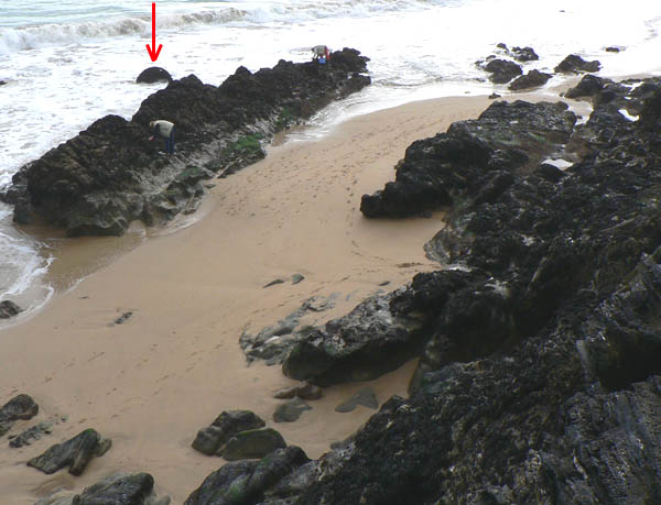
Location
of the wreck: the fishermen give an idea of the size of this "steam
boiler" (estimated to 1,5 m diameter by 2,5 m long)
|
MYSTERY...
If you have some information, we would be pleased to get it; thank you by advance
!
(Click on the small pictures to enlarge them. Some pictures are available in high definition (about 1600x1200 pixels): click on the link "(High definition)" to open them.
|
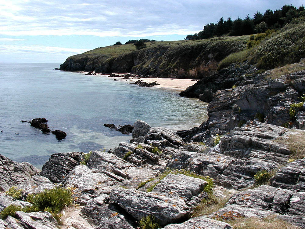
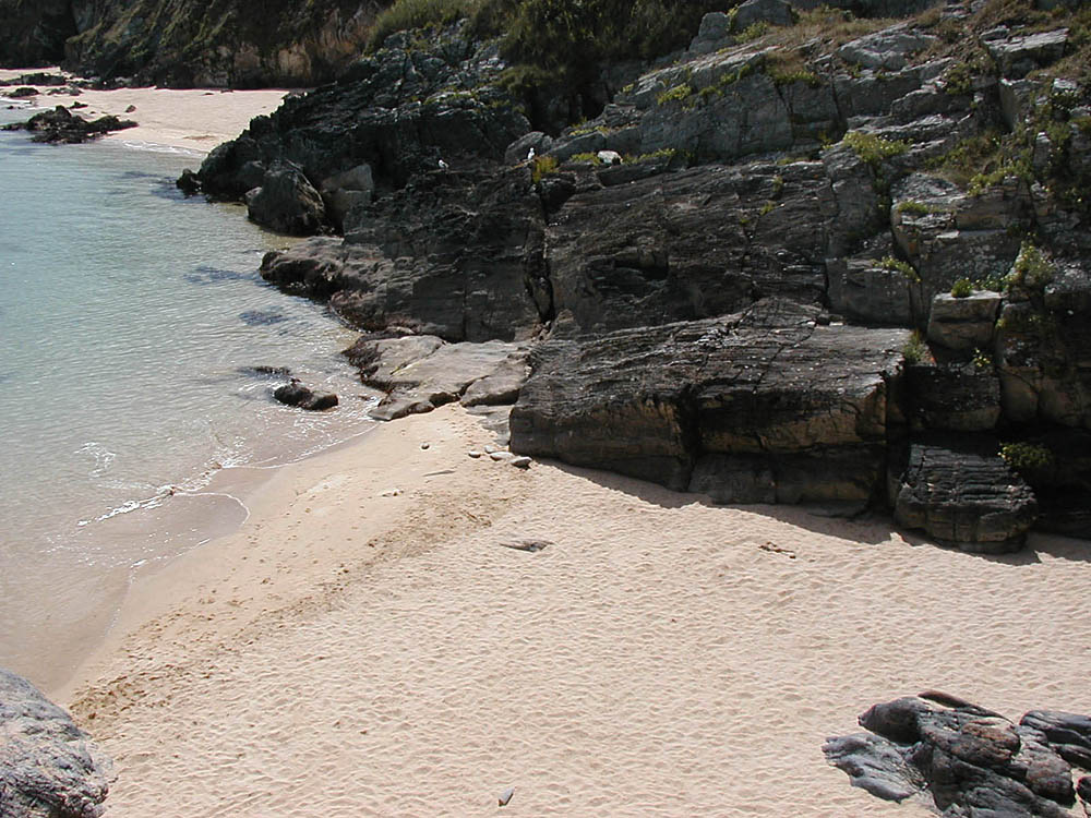
Beach of "Les Galères" |
Small creek near "Les Galères" |
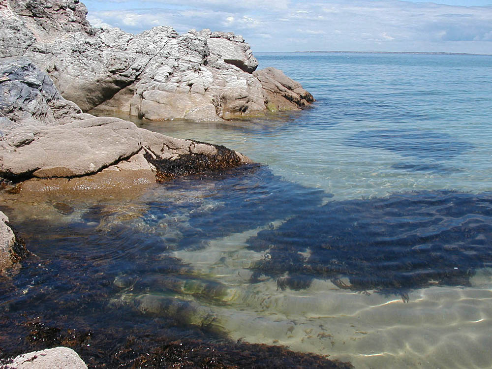
"Les Galères": crystal-clear water |
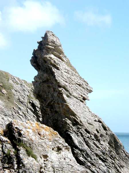
Rock
"Le Djuerh" of Borderhouad.
|
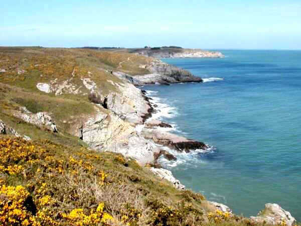
View
from the foreland of Kerzo towards Kerdonis.
|
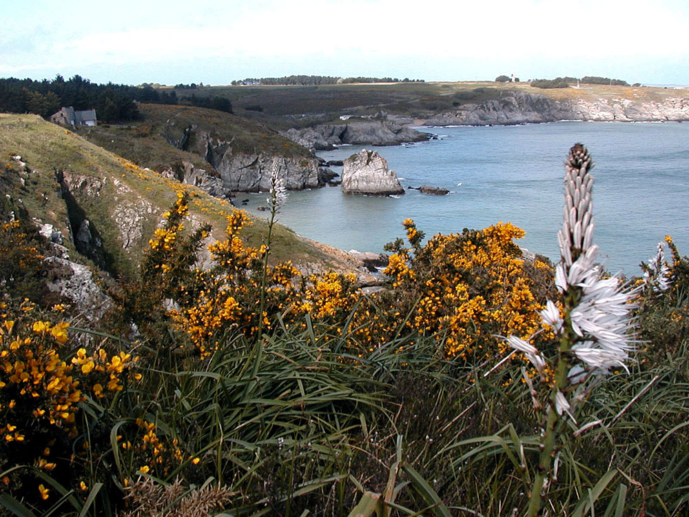
Kerdonis foreland and beach of Port An Dro |
Kerdonis lighthouse |
Kerdonis lighthouse |
Rock
of the Queen Victoria, Port-Billon (the name is self-explanatory...)
|
 |
 |
 |
 |
 |
 |
 |
 |
 |
|
Rock
"Le Djuerh" of Borderhouad and the Kerdonis foreland
(High definition) |
Beach of Port Andro |
Kerdonis foreland |
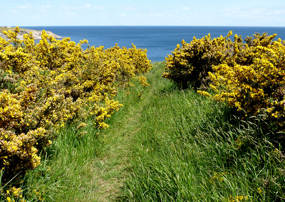
Toward Kerzo foreland
|
Kerzo foreland |
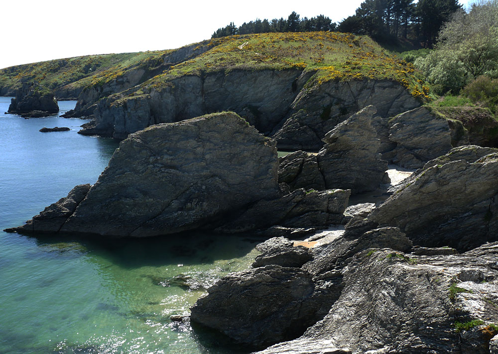
Port-Billon |
Port-Billon |
 |
 |
 |
 |
 |
 |
 |
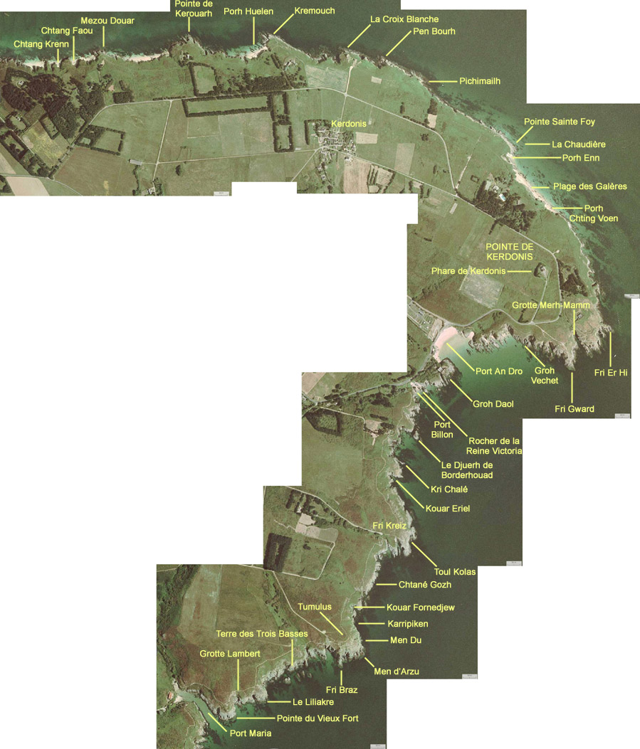
Some keys to decode the local toponimy
![]()