![]()
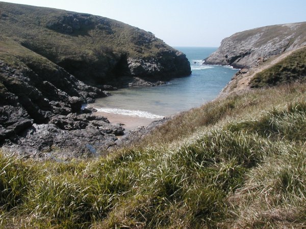
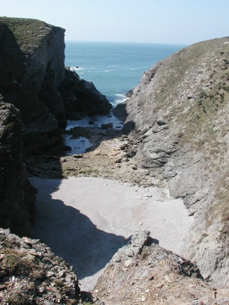
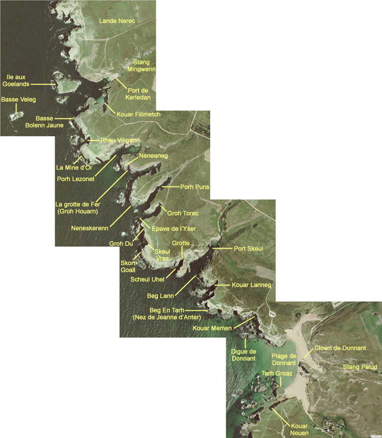
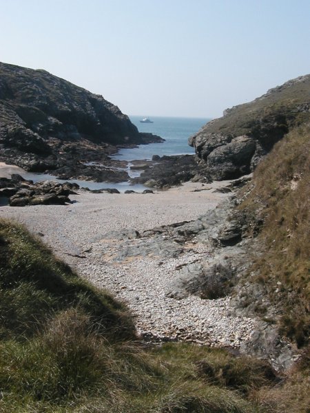
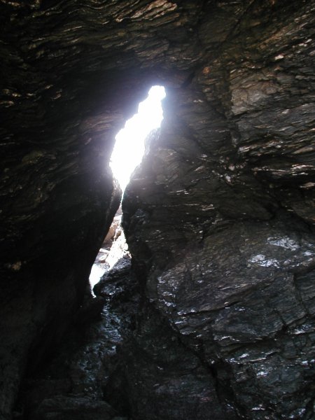
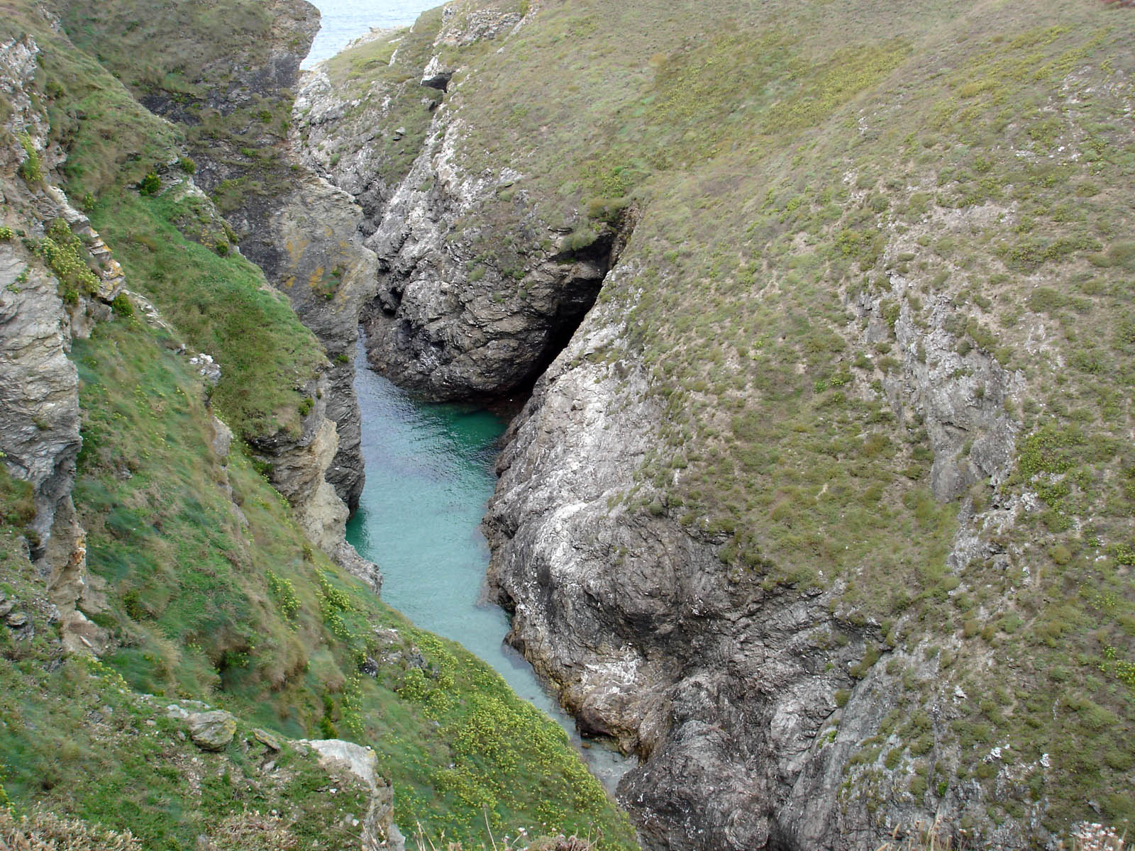
From Kerledan to Donnant : Some beautiful creeks and many caves and pierced rocks.
|
Shipwreck...
Cargo Yser The steering wheel of this ship Yser is shown on the wall of the Restaurant "L'Annexe" (one of the good restaurants of Belle-Ile) located on the "Yser" quay of Le Palais. |
 |
For more information concerning the wrecks at Belle-Ile or in Britanny, click here (French language only !)
(Click on the small pictures to enlarge them. Some pictures are available in high definition (about 1600x1200 pixels): click on the link "(High definition)" to open them.
|
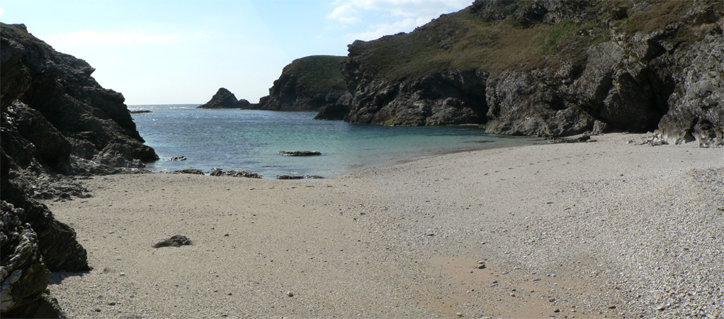
Kerledan, panoramic view |
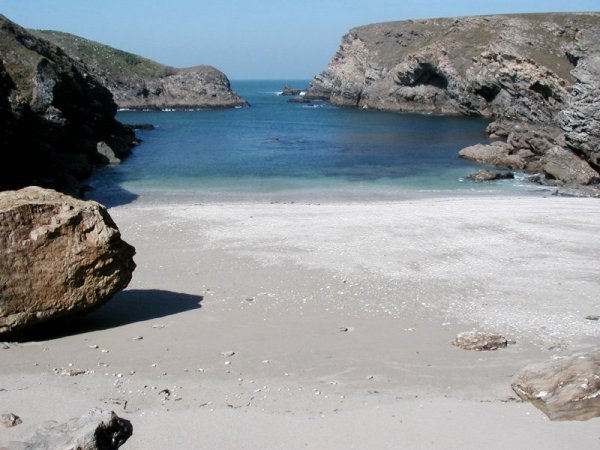
The beautiful creek of Kouar Filimetch |
Kerledan and Kouar Filimetch (on the right). In the back, the village of Bordelann |
The beautiful creek of Kouar Filimetch, with its lightgrey sand. |
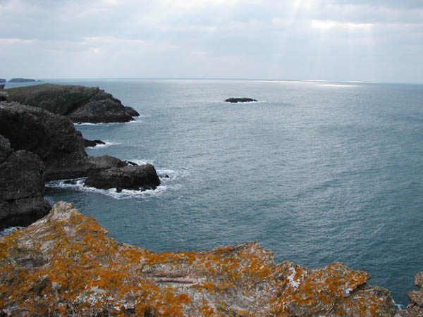
In the sea, the rock of "Basse Veleg". In the background, on the left, the "Sea-gull island". |
"Sea-gull
island" , in front of Kerledan and Kouar Filimetch
|
Collecting barnacles on Basse Veleg | |
 |
 |
 |
 |
 |
 |
 |
|
|
![]()


